Slope Engineering

Steep ground, variable soils, and groundwater make slopes and retaining walls a high-consequence part of site development in Metro Vancouver and across B.C. We start by defining the problem clearly: geometry, soils, groundwater, drainage paths, vegetation, and nearby loads. Field work typically combines SPT/DCPT in boreholes, selective test pits or coring, piezometers for water levels and seasonal trends, and targeted lab testing (index properties, unit weight, gradation). Where stiffness or layering detail matters, we supplement with CPT or surface geophysics. The result is a reconciled ground model we can trust for stability checks and wall design.
We evaluate static and seismic stability, sensitivity/strain-softening where applicable, and the effects of groundwater and surface runoff, then quantify expected movements. For retaining walls we check sliding, overturning, bearing, global stability, settlement, and seismic performance. Where hillside development or cuts are adjacent to existing buildings, we assess stability and set movement thresholds appropriate to the risk.
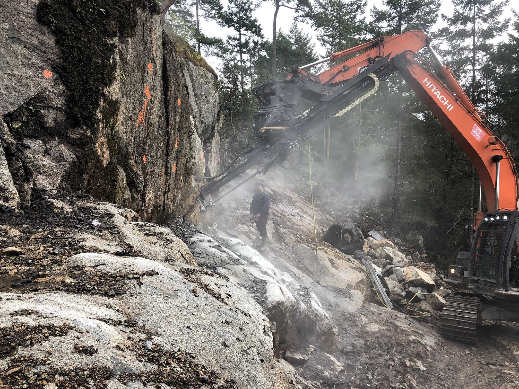
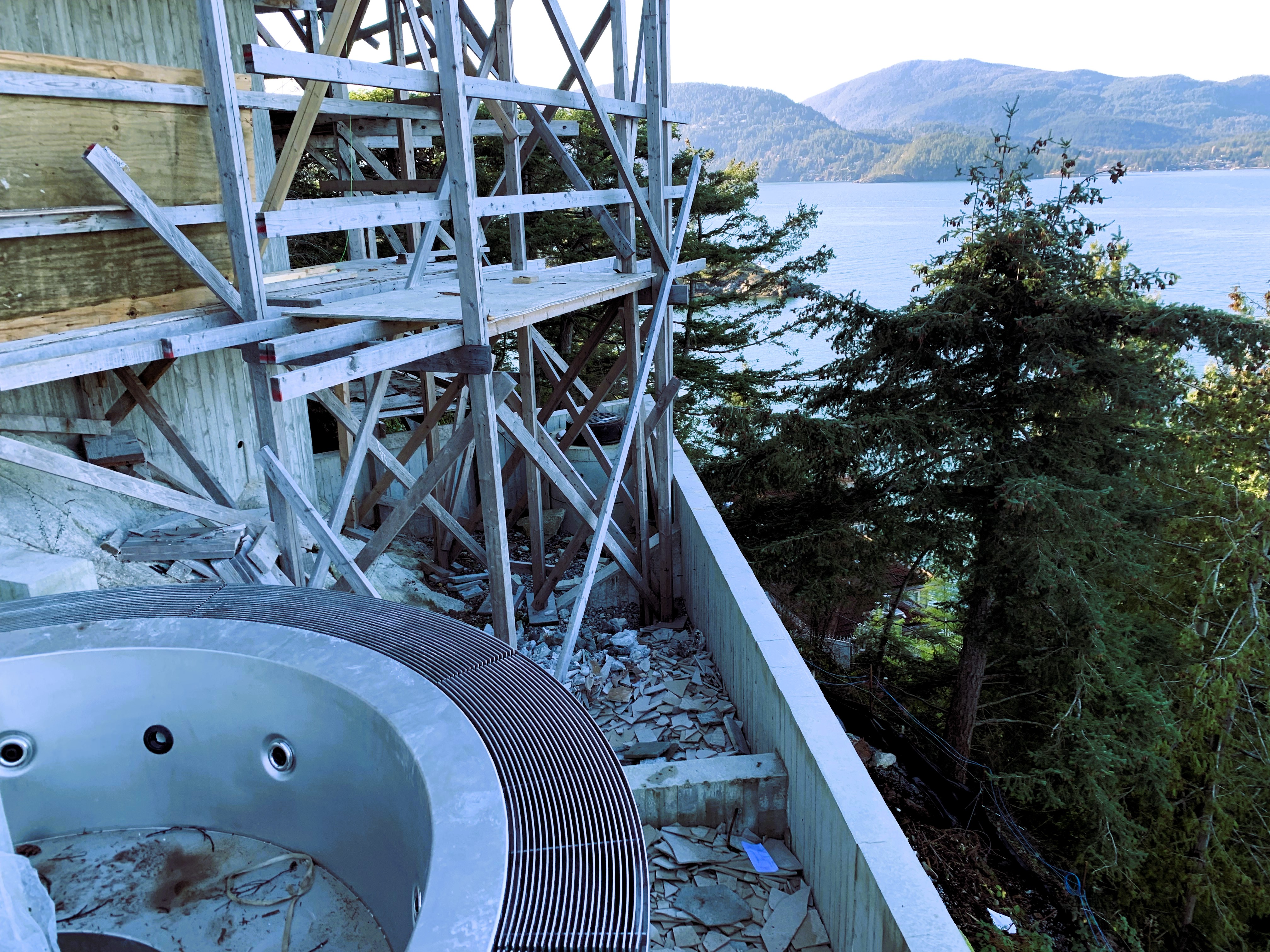
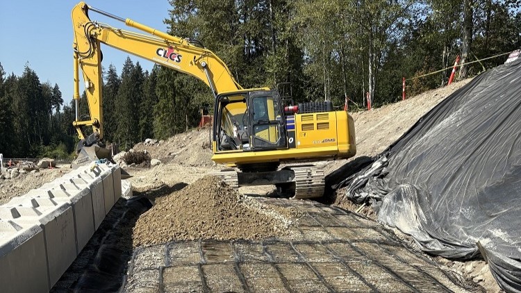
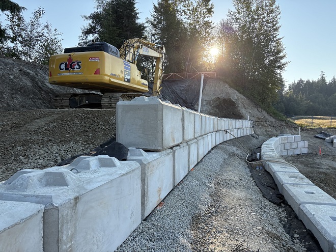
Stabilization begins with drainage and grading: interceptor/french drains, subdrains, toe relief, ditch improvements, and surface water management to keep the slope dry, especially through the wet season. Where structure is required, we design solutions matched to soils, access, and budget: mechanically stabilized earth (MSE) and segmental retaining walls (SRW) (geogrid-reinforced and gravity resistance), anchored tie-back walls (shotcrete or reinforced concrete facing), soil-nailed walls, reinforced concrete walls, and tangent/secant pile walls where low deformation or groundwater cut-off is needed. In rock or hard till, we use bedrock anchors/rock bolts with shotcrete or mesh facings to stabilize cut slopes and escarpments. We also design landscape retaining walls for residential sites, properly engineered with drainage, setbacks, and wall heights suited to municipal requirements.
We handle everything from single-family slope stability assessments and small retaining walls to multi-lot subdivisions with tiered walls, stormwater integration, rock slope analysis and engineering, and staged construction. We have extensive experience in North Vancouver and West Vancouver sloping terrain and the Tsawwassen English Bluffs and the North Delta bluffs, where the City routinely requires modified Form S2 sign-off for building permits and expects wet-season considerations in the design and construction sequence. Our reports anticipate reviewer questions and spell out practical construction notes so approvals move faster.
You’ll receive a clear stability/retaining report outlining the design assumptions, process, risks, and mitigation measures, that a reviewer can follow and a contractor can build, along with all the other details typically found in a geotechnical report. For permits we provide the required letters (e.g., modified Form S2 in North Delta and Letters of Assurance where applicable), along with drawings and specifications tailored to municipal checklists. During construction we perform field reviews at key stages, confirm subgrades and reinforcement, and monitor where warranted (survey points, inclinometers, piezometers) so decisions don’t hold up the site.
For active or sensitive slopes, we develop monitoring programs that begin with a survey baseline and defined trigger levels. Movement and pore-water response are then tracked through the wet season and during construction.
We install inclinometers at key cross-sections to measure subsurface shear and deformation, and pair them with standpipe or vibrating-wire piezometers to track groundwater levels. Surface movement is confirmed with survey prisms or targets, read by robotic total stations or GNSS. Where risk or access requires, we add in-place inclinometers and dataloggers with telemetry, creating dashboards that update automatically and issue green, amber, or red alerts as thresholds are approached.
Monitoring reports summarize trends, rates of movement, and recommended actions. These may include increasing monitoring frequency, tightening dewatering, adjusting excavation sequences, adding drainage or relief, or pausing work. This process gives owners and contractors timely, defensible information for decision-making.